


Meteorologists announced Thursday that La Niña — the cooler and often more disruptive counterpart of El Niño — has officially arrived, promising to reshape global weather patterns. However, experts say this event is expected to be mild and short-lived.
La Niña typically amplifies the Atlantic hurricane season, but this year’s version may not have enough strength or duration to cause major disturbances. In the United States, it often brings wetter conditions and potential snowstorms in the North, while the South experiences a drier winter. Globally, La Niña can trigger heavier rainfall in Indonesia, the Philippines, Australia, Central America, northern South America, and parts of southeastern Africa. Conversely, it tends to bring drought to regions such as the Middle East, eastern Argentina, eastern China, Korea, and southern Japan.
The phenomenon occurs when ocean temperatures in parts of the central Pacific drop about half a degree Celsius (0.9°F) below normal. According to the U.S. National Oceanic and Atmospheric Administration (NOAA), these cooler waters confirm that La Niña conditions have formed. Yet, forecasts from NOAA and Columbia University suggest the event will remain weak and may fade within a few months.

“There’s about a 75% chance that La Niña will stay weak,” said Michelle L’Heureux, lead NOAA scientist studying both La Niña and El Niño. “A weaker La Niña exerts less influence on global weather, which could lead to some surprises.”
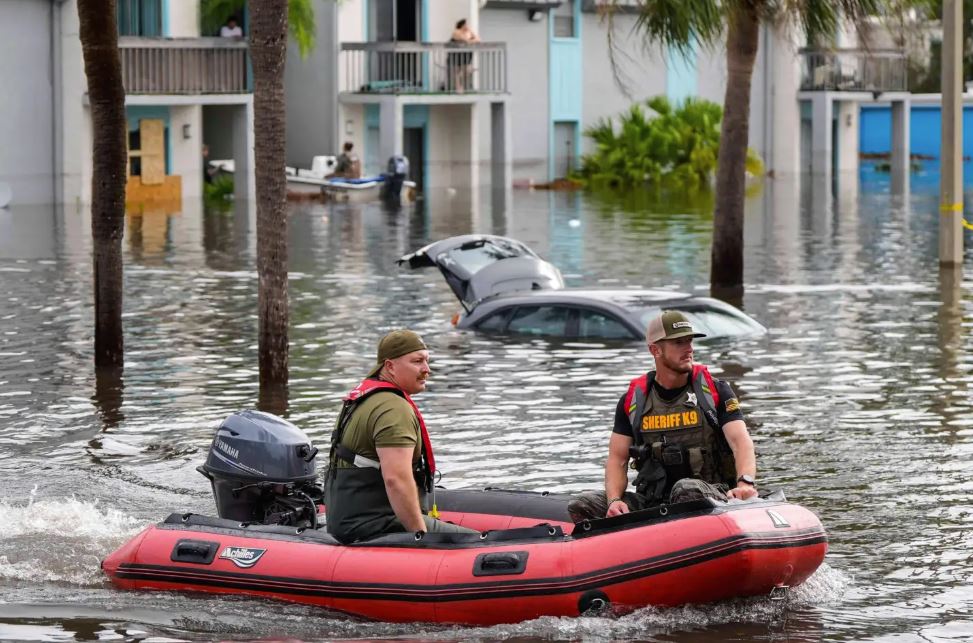
This year’s Atlantic hurricane season, originally predicted to be more active than average, has so far been slightly quieter. Normally, La Niña reduces wind shear — a factor that suppresses hurricane formation — thereby allowing storms to strengthen. But University of Miami researcher Brian McNoldy believes this particular La Niña arrived “too late and too weak” to make much difference. Other experts, including Colorado State University’s Phil Klotzbach, note that current conditions and long-range models do not indicate significant storm development in the near future.
Despite its mildness, La Niña can still have economic repercussions. Historically, its droughts have proven costly for U.S. agriculture. A 1999 study found that La Niña-related droughts caused between $2.2 billion and $6.5 billion in losses — far exceeding the $1.5 billion typically attributed to El Niño.

According to Columbia University scientist Azhar Ehsan, while La Niña is not always the pricier event, it often carries heavier financial consequences.
In short, the world may be entering a brief, weaker La Niña phase — but even a mild shift in Pacific waters can ripple through global weather systems, influencing everything from rainfall to food prices.

