


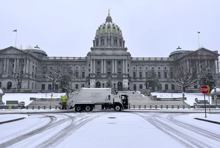
A powerful winter storm that first blanketed parts of the Midwest and South with snow and ice on Monday is now moving eastward, bringing dangerous icing to regions of Appalachia and heavy snowfall to the inland Northeast on Tuesday.
In the Kansas City area, snowfall measured between three and five inches, while Louisville recorded around three inches. In St. Louis, Missouri, and Indianapolis, totals ranged from two to four inches, making roads increasingly hazardous.
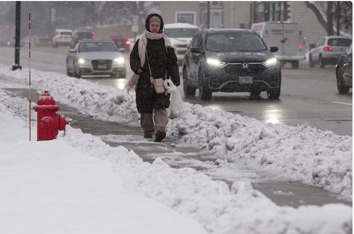
Authorities in Indianapolis reported more than 150 traffic accidents since the snowfall began on Sunday. Police urged residents to drive with caution as icy conditions continued to worsen. In Oklahoma and Arkansas, a significant layer of ice created difficult and unsafe driving conditions, and that same icy threat is now expected to affect cities such as Boone in North Carolina and Roanoke in Virginia.
Further north, parts of Ohio, West Virginia, Pennsylvania and western New York are expected to receive an additional two to four inches of snow on Tuesday. Weather advisories remain in place for northern Pennsylvania and central New York, where snowfall could reach up to six inches.
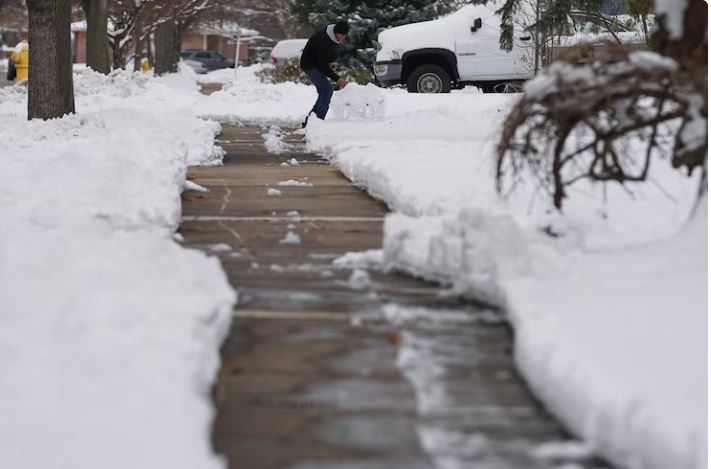
In response to the storm, New Jersey Governor Phil Murphy declared a state of emergency in several counties. He warned residents to remain alert and take extra care on icy roads and sidewalks as a mixture of snow and rain moves through the region.
Along the immediate East Coast, temperatures will be slightly warmer, meaning most cities are expected to see mainly rain. However, officials caution that a brief period of wintry mix is still possible around Washington, D.C., during the morning hours, which could disrupt traffic and commuting.

By Tuesday night, rainfall is expected to taper off in New York City, while continuing in Boston. Meanwhile, snowfall will likely persist from Albany, New York, all the way north through the state of Maine.

