



As 2026 begins, Texas is showing little sign of long-lasting cold, making snowfall feel like a distant possibility. Still, this time of year often brings winter storms that disrupt life across the Panhandle and North Texas — and on rare occasions, push far enough south to impact Houston as well.
With nearly two months remaining in meteorological winter, which runs through February, the question remains: where in Texas is snow most likely to fall first, and what conditions are required for Houston to experience it?
Historically, the Texas Panhandle sees the most snowfall in the state. Amarillo typically records more than 14 inches of snow during an average winter, making it the snow capital of Texas. About 100 miles south, Lubbock usually sees around six inches each season. Snow totals decline sharply farther south, with Midland averaging roughly four inches, while the Dallas–Fort Worth area sees just over one inch per winter.
For Southeast Texas, accumulating snow is extremely uncommon. In a typical winter, Houston may only see a few flakes — officially classified as a “trace” — with no meaningful buildup. Significant snowfall, like the rare January 2025 event that blanketed parts of the metro area, occurs only when several precise weather conditions align.
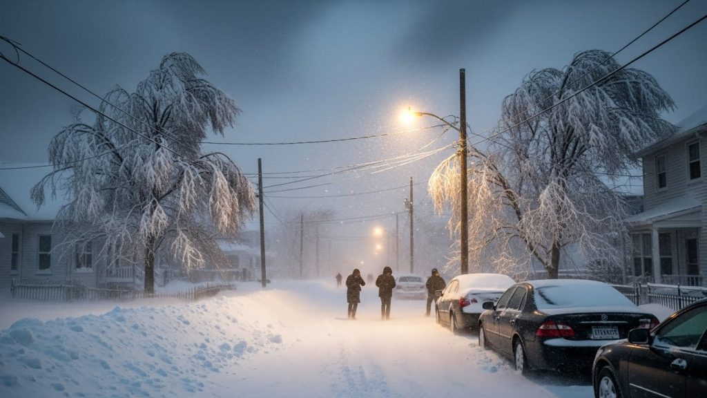
Snowfall in Houston requires a near-perfect atmospheric setup. First, a strong and sustained push of cold air is essential. Most snowy days in Houston’s history have followed the arrival of intense Arctic fronts that drive temperatures well below normal.
Moisture is the next key ingredient. This usually comes from an upper-level disturbance or a developing low-pressure system. In January 2025, the system responsible for Houston’s snow formed near the South Texas coastline before moving east.

Another critical factor is atmospheric lift. Even with cold air and moisture present, snow cannot form unless air is rising. That upward motion typically comes from upper-level energy or a nearby storm system.
Perhaps the most important element is the storm’s track. If the system passes too far north, Houston ends up with cold rain. If it moves too far south, snow falls elsewhere. The January snowstorm followed an ideal eastward path, producing near-blizzard conditions from Louisiana into the Florida Panhandle while allowing snow to reach Houston.
Additional factors such as strengthening weather fronts, instability in the atmosphere, and Houston’s position relative to the jet stream can further improve the odds of measurable snowfall.
Looking ahead, the short-term forecast offers little hope for snow enthusiasts. Through mid-January, temperatures are expected to remain warmer than average, with minimal rain chances during the first ten days of the new year. While this setup is not favorable for winter weather, it is not unusual.
Since official snow records began in 1921, Houston’s most notable snowfalls have typically occurred between mid-January and mid-February. This period also aligns with the city’s coldest stretch of the year, when Arctic air has the best chance of reaching the Gulf Coast.
For now, Texas snow remains most likely in the northern parts of the state — and for Houston, patience is the only forecast.

