



A major multi-day flood threat is unfolding across the Southwestern United States, where two former tropical systems — Hurricane Priscilla and Tropical Storm Raymond — are transforming the typically dry desert landscape into a zone of heavy rain and flash flooding.
Widespread rainfall began Thursday night, with humid air surging into the region. By early Friday afternoon, parts of the Phoenix metro area had received half an inch or more, while mountainous regions north of the city recorded between 1 to 3 inches of rain.
Six States Under Flood Watches
Flood watches have been issued across six states, including Arizona, Utah, California, Colorado, and New Mexico, with the most severe flood risk centered on central and northeastern Arizona and southwest Utah through Saturday morning.
According to the Weather Prediction Center (WPC), these areas are under a Level 3 of 4 risk for flooding rainfall — meaning numerous flash flooding events are likely, with some potentially significant.
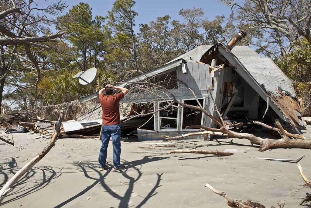
Former Hurricane Priscilla has brought record levels of moisture into the atmosphere for this time of year, capable of producing 1 to 4 inches of rainfall. Given the region’s dry desert soil and rugged terrain, even moderate rainfall can rapidly convert into runoff and dangerous flash floods.
Flooding Risk for Phoenix, Flagstaff, and Mountainous Areas
Rainfall over the next couple of days could be nearly double the normal October average for Phoenix and Flagstaff. Typically, Phoenix records about half an inch of rain in October, while Flagstaff averages around 1.5 inches.

Authorities warn that washes, slot canyons, and small creeks could overflow rapidly, while recent wildfire burn scars face a heightened risk of mudslides and debris flows.
The Weather Prediction Center compared the forecast to 2018’s flooding, when remnants of Hurricane Rosa dumped over 2.3 inches of rain in one day — Phoenix’s wettest October day on record — prompting numerous water rescues.
Flood Threat Expands Into More States
The flooding danger isn’t confined to Arizona.
Areas stretching from southeast California to southern Utah, southwest Colorado, and western New Mexico are also under threat through Saturday, with conditions expected to worsen into Sunday and Monday.
By late weekend, Tropical Storm Raymond’s remnants are forecast to push additional tropical moisture northward into Arizona, New Mexico, and southwest Texas.
The second round of rainfall is expected to impact southeast Arizona, southern New Mexico, and southwest Texas, with Tucson and El Paso among the cities most at risk for flash flooding from Saturday night through Monday.
Unusual Back-to-Back Tropical Pattern
Meteorologists describe this as a rare back-to-back tropical setup in which two Eastern Pacific systems have consecutively funneled moisture into the U.S. Southwest.
Former Hurricane Priscilla dissipated west of Mexico’s Baja California Peninsula on Friday, but its moisture-laden air was captured by a jet stream dip along the West Coast.
Now, Tropical Storm Raymond’s remnants are expected to follow a similar path, drawn into the same weather system but tracking slightly farther east.
This “slingshot” pattern — steering the remnants of Eastern Pacific storms into the U.S. — has historically produced flooding rains in the region. However, meteorologists note that seeing this pattern occur twice in quick succession is highly unusual.
The Southwest U.S. is on alert as two tropical remnants — Priscilla and Raymond — unleash days of soaking rain, turning deserts into flood zones and prompting emergency preparations across multiple states. With record-breaking moisture levels, flash flooding, and roadway dangers, residents are urged to stay vigilant and avoid flood-prone areas through the weekend.

