


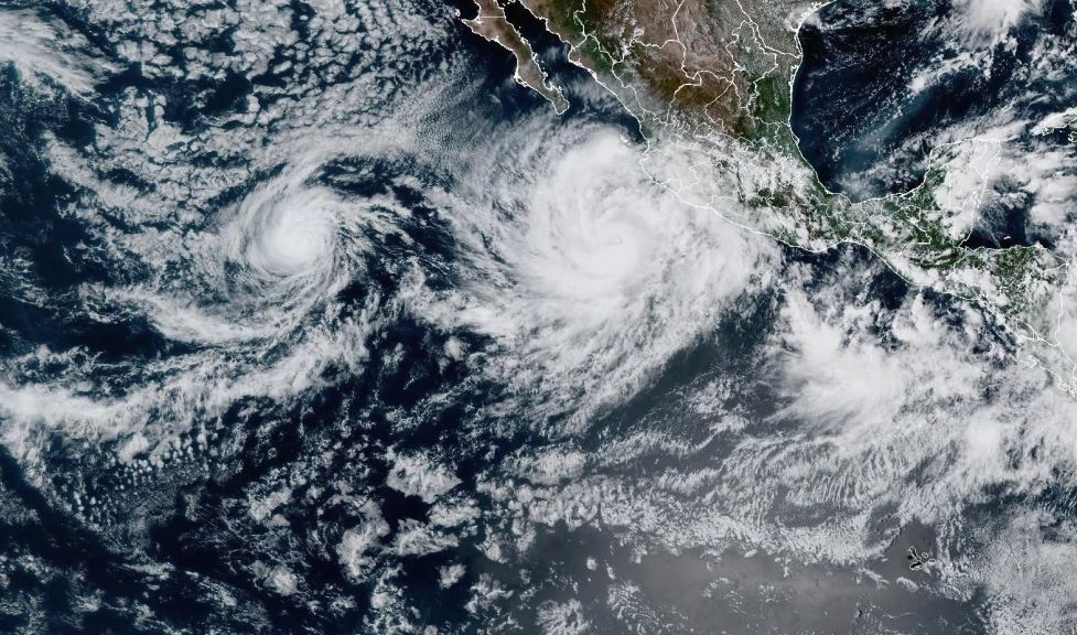
Hurricane Priscilla has developed in the Pacific Ocean off the southwestern coast of Mexico, bringing with it strong winds and torrential rainfall that are impacting coastal communities.
According to the National Hurricane Center (NHC) in Miami, Priscilla recorded maximum sustained winds of 75 mph (120 kph) on Sunday. The storm was located approximately 285 miles (460 kilometers) south-southwest of Cabo Corrientes, moving north-northwest at around 3 mph (6 kph).
Forecasters warned that heavy rain and gusty winds are already affecting parts of southwestern Mexico, with the potential for flash flooding in low-lying areas. The hurricane is also generating large ocean swells that are expected to reach southwestern and western Mexico, as well as southern Baja California, by Monday. These swells could produce life-threatening surf and dangerous rip currents, posing serious risks along the coastline.
A tropical storm watch has been issued from Punta San Telmo to Punta Mita, where tropical storm conditions are expected to continue through Sunday and Monday. The NHC reported that rainfall totals could reach up to 6 inches (15 centimeters) in parts of Guerrero, Michoacán, Colima, and Jalisco, potentially causing flooding and landslides.
Meanwhile, another storm system, Hurricane Octave, has also strengthened in the Pacific but remains far from land. With winds near 80 mph (130 kph), Octave is not expected to make landfall, and no coastal warnings have been issued. The storm was last reported about 995 miles (1,600 kilometers) west-southwest of the southern tip of Baja California, moving northeast at 6 mph (9 kph). The hurricane center predicts that Octave will gradually weaken by Monday.


