


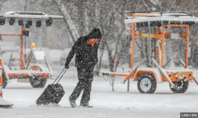
A winter system named Winter Storm Chan by The Weather Channel is continuing its eastward path and is expected to bring snow, ice and a wintry mix to large portions of the Northeast by Tuesday morning.
Current Conditions
Radar imagery shows snow associated with Chan spreading toward the eastern United States. The southern edge of the storm is producing light sleet or freezing rain in some areas, shown as pink on weather maps. Icy bridges and overpasses were reported early Monday in Oklahoma City, while Kansas City experienced snow-covered roads that led to several traffic accidents during the morning commute.
Winter Weather Alerts
The National Weather Service has issued winter weather advisories, shown in blue on maps, indicating that lighter wintry precipitation could make travel slippery and dangerous. At the same time, winter storm warnings, marked in darker blue, are in effect for parts of the Northeast and western Michigan, where heavier snowfall is expected. These warnings are located just west of the Interstate 95 corridor and do not directly include downtown Boston or areas farther south along the coast.
Snowfall Timing and Totals
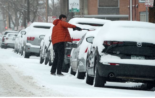
So far, much of the Midwest has received between two and six inches of snow, and an additional one to three inches is possible through Tuesday morning. Even after the snow ends, roads may remain hazardous, especially during the Tuesday morning commute.
The Northeast is expected to see most of its snowfall on Tuesday, with lighter snow possibly continuing into Tuesday night in northern New England. Accumulations of six inches or more are possible from areas just north of New York City’s Hudson Valley into New England. Some locations, including parts of Massachusetts west of Boston, southern New Hampshire and southern Maine, could see up to a foot of snow.
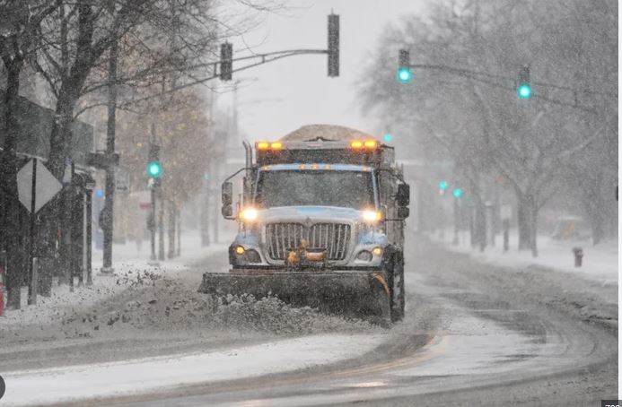
These conditions are likely to make travel difficult on Tuesday and Tuesday night, with snow-covered roads potentially lingering into Wednesday morning. In addition, strong wind gusts may affect the eastern New England coastline late Tuesday into early Wednesday as the storm moves toward Atlantic Canada. The system may briefly intensify enough to qualify as a bomb cyclone, though its strongest impacts are expected to remain over the Canadian Maritimes.

Cold weather will help the snow remain on the ground for several days. Temperatures are expected to stay below freezing throughout the week, with repeated blasts of cold air keeping conditions unsettled across the Midwest and Great Lakes region.
Ice Threat
Not all precipitation will fall as snow. While sleet and freezing rain have already ended in parts of Arkansas and the Mississippi Valley, there is still a risk of icing in the southern Appalachians and nearby Piedmont areas, from western North Carolina to West Virginia and western Virginia early Tuesday. In the Shenandoah Valley and sections of northwestern North Carolina, enough ice could accumulate to make roads slick and possibly cause isolated power outages.
Possibility of First Measurable Snow in I-95 Cities
Although Boston, New York City, Philadelphia and Washington, D.C. have seen their first snowflakes of the season, none of these cities have officially recorded measurable snowfall so far. Rain is expected to be the main form of precipitation in D.C., Philadelphia and New York City, though a few wet snowflakes cannot be ruled out at the beginning or end of the system. Boston has the best chance of recording measurable snow, as rain there may turn into wet snow at some point Tuesday night.

