


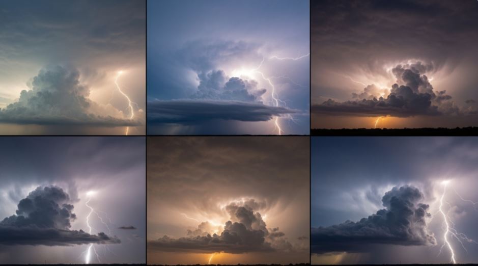
Springtime weather in Houston can shift rapidly. A hot, humid afternoon often builds into towering storm clouds within hours. These fast-forming storms, sometimes called “popcorn storms,” can appear suddenly and disappear just as quickly. However, under the right atmospheric conditions, they can grow into powerful systems capable of producing hail, strong winds, and even tornadoes.
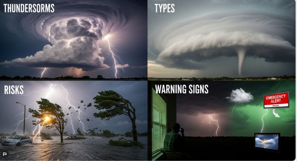
The Four Main Types of Thunderstorms
Not every thunderstorm behaves the same way. Meteorologists classify them into four main types based on their structure and intensity.
Single-cell storms are the most common. They form quickly, deliver short bursts of rain and lightning, and typically weaken within an hour. Because they are not well-organized, they rarely become severe.
Multi-cell storms consist of several storm cells at different stages of development. While one cell fades, another strengthens, allowing the system to last longer. This structure increases the chances of localized severe weather, including strong winds or hail.
Squall lines are long, continuous bands of storms that often develop along cold fronts. These systems can stretch for hundreds of miles and are known for producing widespread damaging winds. In some cases, they evolve into powerful windstorms known as derechos, like the one that impacted Houston in May 2024.

Supercells are the most dangerous type of thunderstorm. Unlike others, they have a rotating updraft, which helps them remain stable and long-lasting. This rotation makes them capable of producing large hail, destructive winds, and powerful tornadoes.
When a Storm Becomes Severe
A thunderstorm is classified as severe when it meets specific criteria. This includes wind speeds of at least 58 miles per hour, hail measuring one inch or larger in diameter, or the presence of a tornado. While single-cell storms usually stay below these thresholds, multi-cell storms and squall lines can occasionally produce severe conditions. Supercells, however, are the most likely to meet or exceed all these criteria.
Why Storm Clusters Are Difficult to Predict
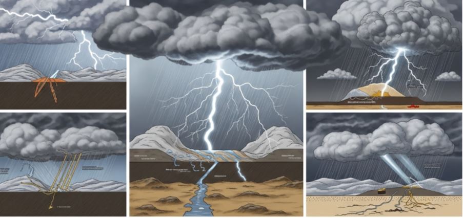
Forecasting becomes more challenging when storms organize into clusters rather than remaining isolated. Multi-cell storms and squall lines can merge into larger systems known as mesoscale convective systems. These complexes can last for many hours, travel long distances, and continuously evolve.
Unlike isolated storms, these systems can strengthen or weaken due to subtle atmospheric changes. They may also create their own weather boundaries, making their behavior less predictable. This is why scattered storms can quickly intensify or dissipate without much warning.
How Hail Forms Inside Storms
Hail is often a sign of a strong and well-developed thunderstorm. It begins as small droplets or ice particles that are carried upward by powerful currents of rising air. As they move higher into colder parts of the atmosphere, they collect layers of ice.
These hailstones continue to grow as they are repeatedly lifted and dropped within the storm. The stronger the updraft, the larger the hail can become. Moderate updrafts can produce small hail, while intense storms—especially supercells—can generate hailstones several inches in size.
Why Supercells Pose the Greatest Tornado Threat
Supercells stand out because of their rotating structure. Changes in wind speed and direction at different altitudes create a spinning motion in the atmosphere. The storm’s updraft then tilts this spinning air vertically, forming a rotating column known as a mesocyclone.
This rotation allows the storm to stay organized for longer periods. As the rotation tightens, a funnel cloud can form. If it reaches the ground, it becomes a tornado, often forming very quickly. Although supercells are less common, they are responsible for most tornadoes and the most intense storm damage.
Understanding Weather Risk Levels
Forecast terms like “marginal” and “slight” risk can sometimes be misleading. These categories describe the overall likelihood and coverage of severe storms, not just their strength. Even on a “slight risk” day, a few storms can become dangerous if conditions come together in the right way.
This uncertainty is why weather experts often describe conditions as “conditional.” Severe weather may not occur everywhere, but when it does, it can intensify rapidly.
Watch vs Warning: What You Need to Know
Weather alerts are designed to give people time to prepare and respond. A watch means that conditions are favorable for severe weather to develop. It serves as an early alert to stay aware.
A warning, on the other hand, means severe weather is already occurring or is about to happen. This is the point when immediate action is necessary to ensure safety.
In regions like Southeast Texas, watches are usually issued hours in advance for large areas, while warnings are more specific and short-term, focusing on active storms.

