


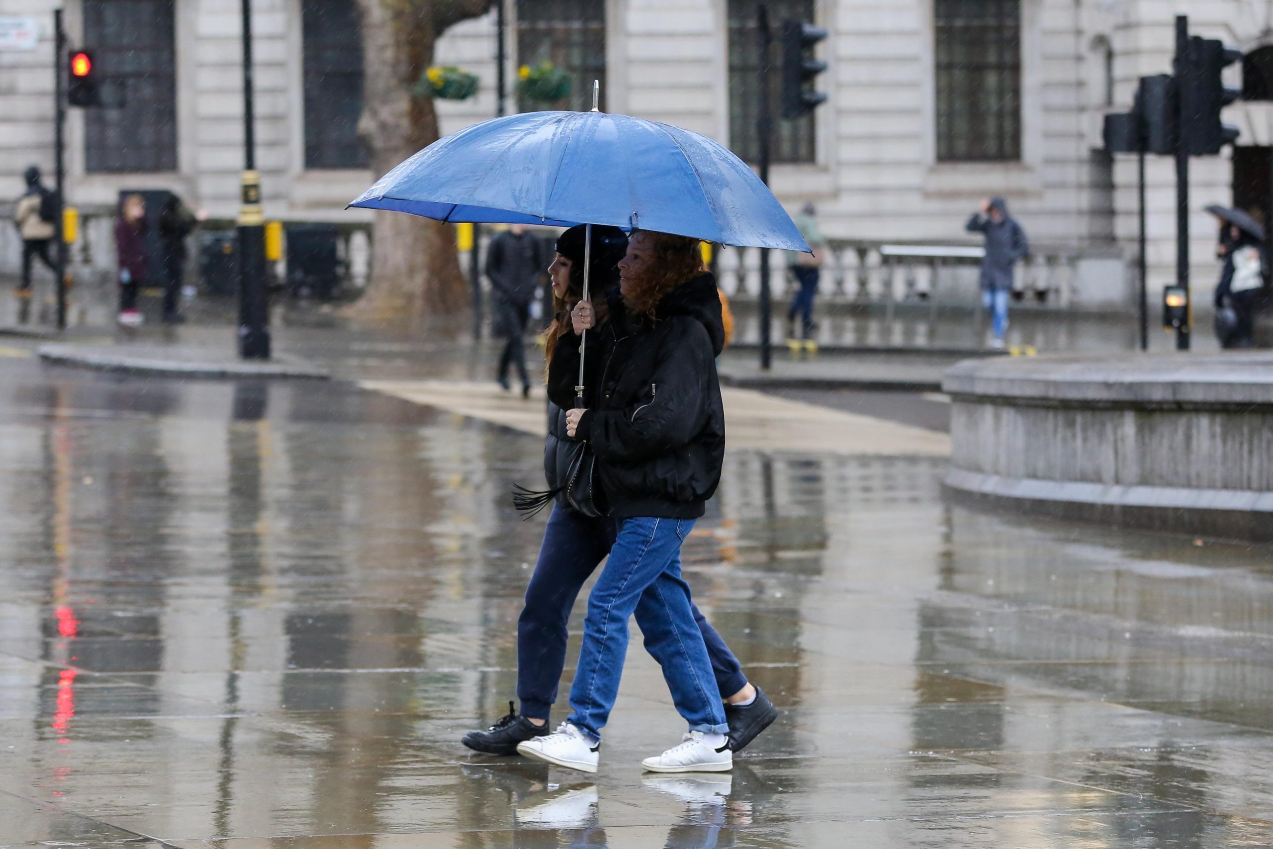
The National Weather Service (NWS) warns that a strong storm system will continue to move slowly across the central United States on Friday and Saturday, bringing widespread showers and thunderstorms to the region.
According to the NWS, slight risks for both severe thunderstorms and excessive rainfall have been issued for Saturday, particularly across areas stretching from the Ozarks into the mid-Mississippi River Valley.
Residents in the affected regions should prepare for the possibility of damaging winds, large hail, isolated tornadoes, and flash flooding. These weather hazards could lead to travel disruptions, localized power outages, and rapid water rises in low-lying or flood-prone areas.
The National Weather Service urges everyone in the path of the storm to:
- Stay informed through official weather updates at www.weather.gov.
- Review emergency plans and ensure that mobile devices are fully charged.
- Avoid driving through flooded roads and seek shelter immediately if severe weather warnings are issued.


