


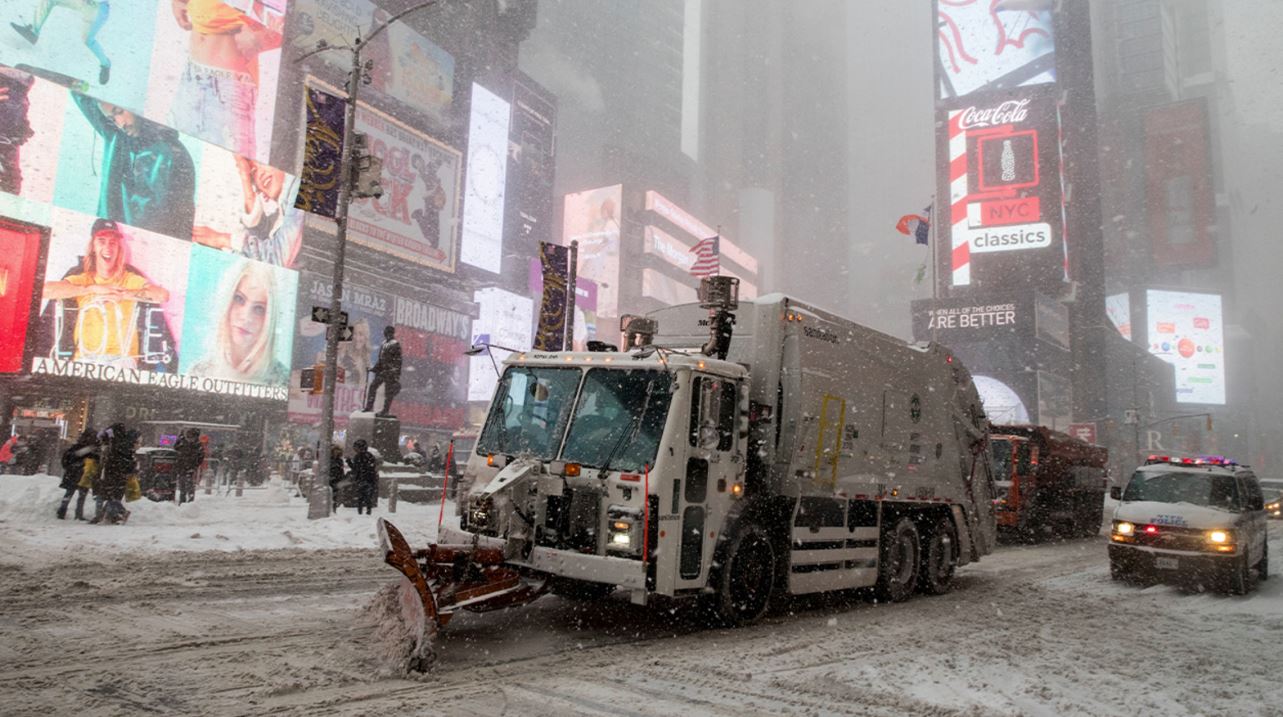
Cities across the United States are turning to high-tech snowplows, GPS tracking and artificial intelligence to improve winter road clearing, boost transparency and cut costs. What was once a manual, paper-based operation is now powered by live data, cameras and smart mapping systems.
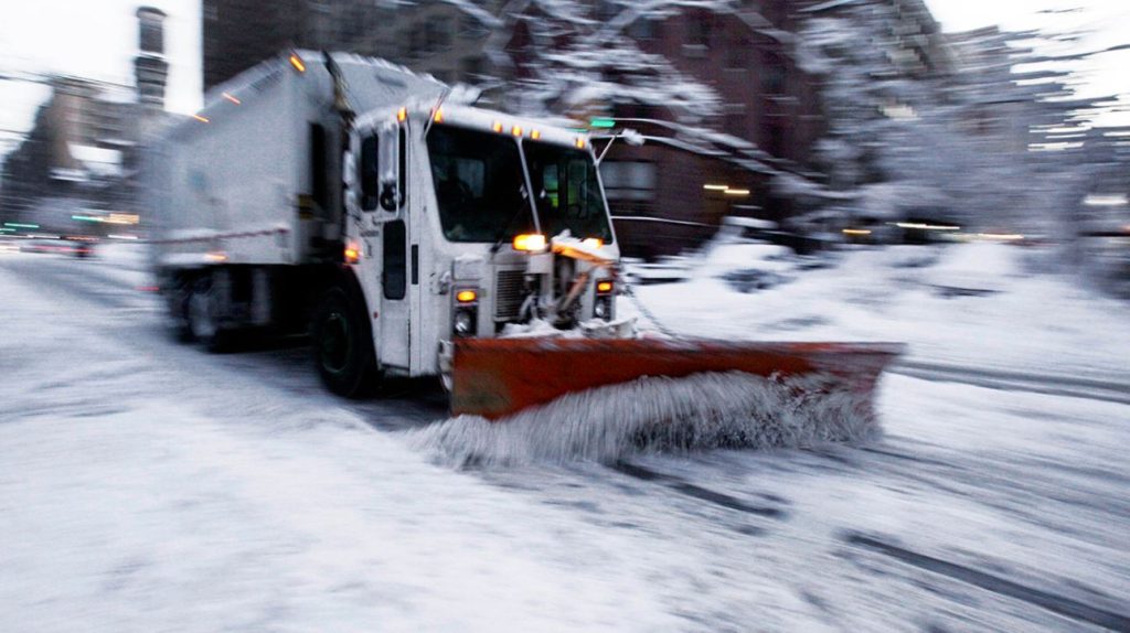
Syracuse Leads the Way in Snow Innovation
In Syracuse — often called America’s snowiest major city residents used to overwhelm city hotlines with complaints during heavy snowstorms. Even when plows had already passed through neighborhoods, fresh snowfall often erased visible proof, leading people to believe streets had been ignored.
That changed after the city modernized its snow operations. According to Chief Innovation Officer Conor Muldoon, complaint calls have dropped by 30 percent since the new system was introduced. Residents can now check a public online map that updates every five minutes, showing exactly when and where plows have cleared roads.
Syracuse averages about 126 inches of snow each winter the highest among U.S. cities with more than 100,000 residents. This season, the city exceeded its average early, after a record two-foot snowfall in a single day in late December. Officials aim to clear every street within 24 hours of a storm.
In 2021, Syracuse partnered with tech company Samsara to install live GPS tracking and dash cameras across its fleet, including snowplows. The system integrates with geographic mapping tools to provide real-time vehicle tracking and video feeds for city officials. While live video remains private, the public-facing map increases transparency and trust.

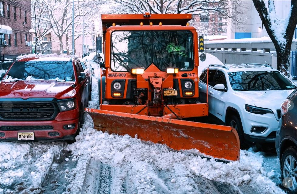
AI Enhances Emergency Response
Since 2019, Samsara has added artificial intelligence features to its system. This winter, cities gained access to footage from a broader camera network, helping officials assess road conditions even without crews on-site.
For example, in Plainwell, Michigan, during a snow emergency, the system instantly identified the nearest available plow, eliminating the need for manual checks. Instead of scanning a list of vehicles, dispatchers could immediately determine which driver was closest and ready to respond.
New York City’s Custom System
Unlike Syracuse, New York City built its own internal tracking program known as BladeRunner. The system monitors snow-removal vehicles — including garbage trucks fitted with plows but relies on human analysts rather than AI to interpret GPS data.
Each plow in New York follows a fixed route during storms to ensure fair and consistent service across neighborhoods. According to sanitation officials, about 99 percent of roads are typically cleared within four hours after moderate snowfall. However, extreme storms can delay that goal.
City leaders are now considering adding AI tools to help manage the high volume of 311 calls and online service requests that can flood the system during major snow events.
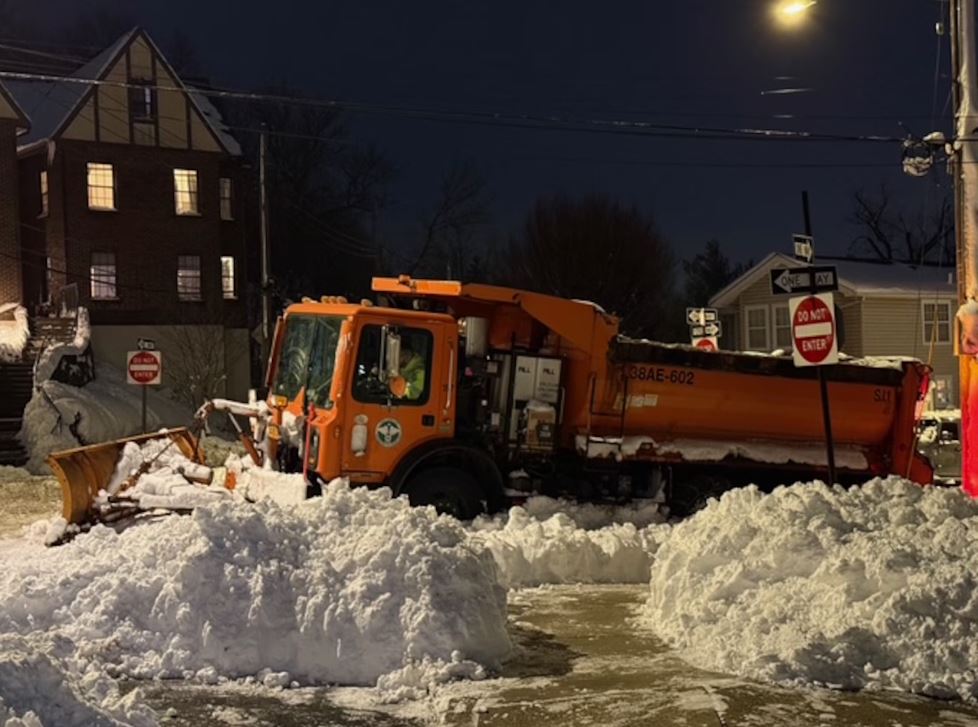
Cutting Costs and Reducing Liability
Across the United States, winter road maintenance costs exceed $4 billion annually. Advanced tracking and monitoring systems are helping cities reduce waste, environmental impact and legal expenses.
In Fayetteville, Arkansas, officials launched their first public snow-removal map this winter. Despite receiving nearly double the snowfall compared to the previous year, the city improved plowing speed, labor efficiency and fuel usage. Some roads were treated for the first time because crews had clearer data on coverage gaps.
In Edison, New Jersey, the township reduced salt and brine costs by 35 percent and cut insurance claim payouts by 60 percent. Onboard video footage proved that snowplow drivers were rarely responsible for collisions. Similar findings emerged in Iowa, where video evidence showed that nearly all snowplow crashes in one severe weather day were caused by other drivers.
Modern Dispatching Replaces Paper Maps
Kalamazoo County, Michigan, became the first county in the state to adopt turn-by-turn navigation for snowplow dispatching. Previously, drivers relied on large paper map books and radio confirmations to determine which streets had been cleared. The new system eliminates guesswork, reduces delays and improves overall efficiency.
From AI-powered dispatch systems to real-time public maps, American cities are redefining how they manage winter storms — increasing transparency, saving money and strengthening public confidence in the process.

