


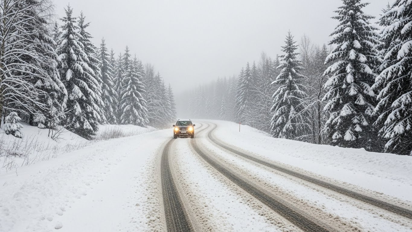
The Upper Midwest, Great Lakes, and Northeast regions are bracing for a major winter storm as a powerful late-December blizzard sweeps across the country. The National Weather Service has issued warnings for heavy snowfall, blizzard conditions, hazardous ice, and dangerously low wind chills expected to continue through Monday.
Rapidly Intensifying Winter Storm
The Weather Prediction Center reports that a fast-strengthening storm system is moving northeast through Michigan, bringing widespread heavy snow and blizzard conditions to the Upper Midwest and Great Lakes region. The Northeast is forecast to experience a hazardous wintry mix through Monday. Meteorologists also caution that lake-effect snow will intensify downwind of Lakes Erie and Ontario from Monday afternoon into Tuesday.
Heavy Snowfall and Treacherous Travel
Michigan’s Upper Peninsula is expected to receive more than a foot of lake-enhanced snow tonight. Blizzard conditions will persist across the Upper Midwest and Great Lakes into Monday, creating dangerous travel conditions and the possibility of scattered power outages. Westerly winds are expected to intensify lake-effect snow across the lower Great Lakes region.
Hazardous Ice Accumulation

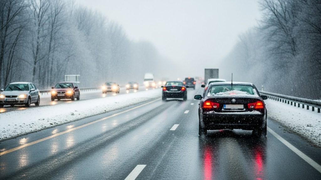
Northern Michigan is likely to experience a heavy wintry mix this evening before changing to snow and freezing spray over the northern Great Lakes. In parts of the interior Northeast, ice accumulation of 0.25 to 0.50 inches is expected through Monday morning, increasing the risk of hazardous travel and localized power disruptions.
Strong Winds and Extreme Cold
Wind gusts above 40 miles per hour could cause blowing and drifting snow and may result in lakeshore flooding in vulnerable areas. Bitterly cold temperatures will push wind chills well below zero through Tuesday. In some areas of North Dakota and Minnesota, wind chills could fall to as low as minus 30 degrees Fahrenheit, posing a serious threat to life and health.
Public Safety Recommendations
Authorities are urging residents to avoid unnecessary travel, follow local emergency instructions, prepare emergency supplies, and stay updated through official weather channels.

