


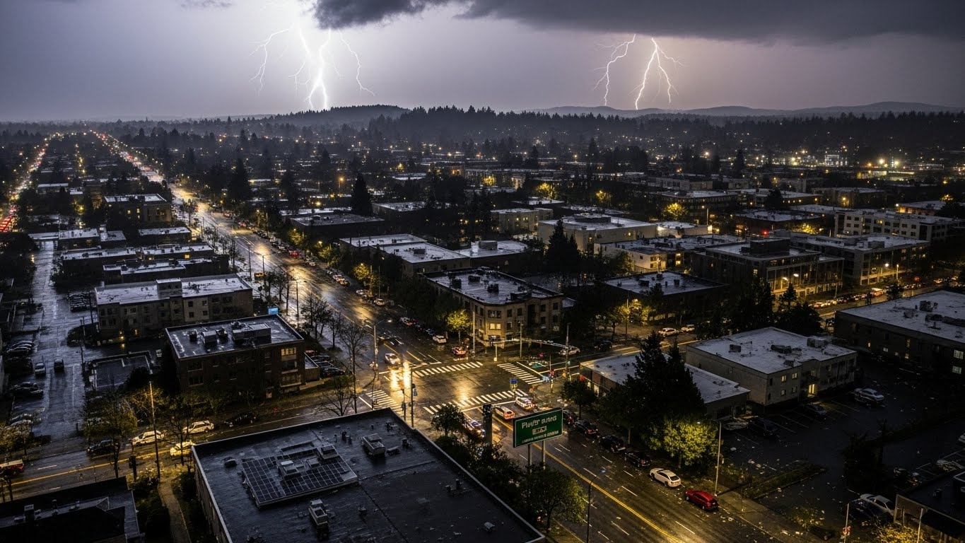
A massive storm system is racing from the West Coast toward the East, bringing hurricane-force wind gusts and dangerous weather to more than 30 states by the end of the week. The timing is especially concerning as holiday travel ramps up, with millions expected to take to the roads and airports.
Widespread Wind Damage and Power Outages in the West
The powerful system moved into the Midwest after unleashing destructive winds across the Pacific Northwest, Northern Plains, and the Rockies on Wednesday. Hundreds of thousands of customers lost power as intense gusts toppled trees and damaged infrastructure.
Wind gusts exceeding 100 miles per hour were reported across the Intermountain West and Northern Plains. Wyoming recorded an extreme 144 mph gust on Mount Coffin, while Glasgow, Montana, set a new December wind record with a gust of 78 mph.
Deadly and Injurious Impacts Reported in Idaho
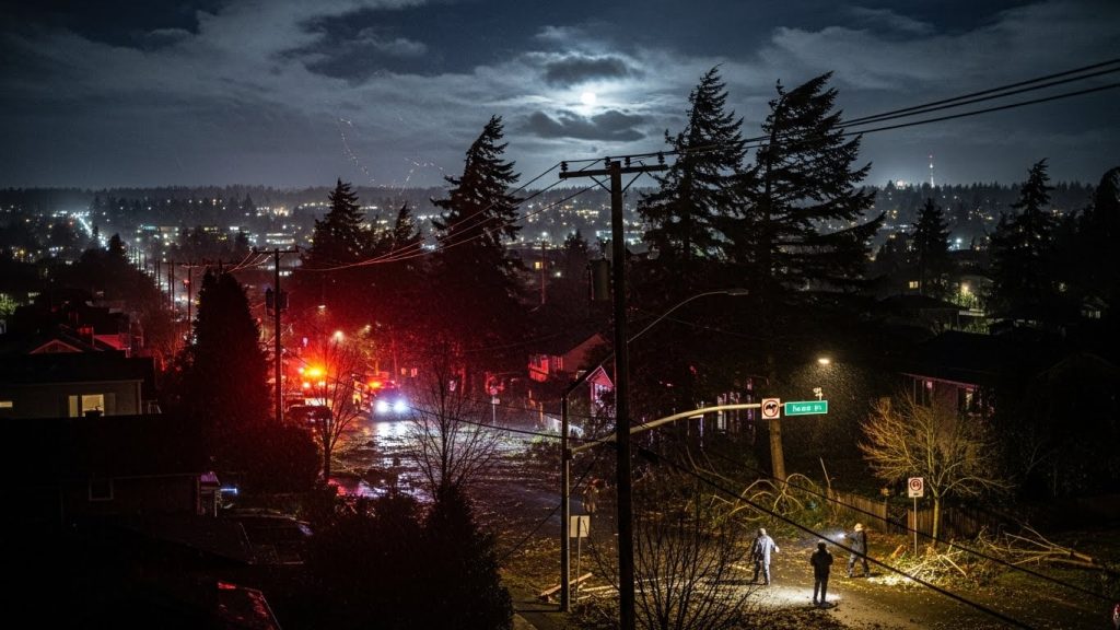
In Twin Falls, Idaho, two children were critically injured when strong winds knocked over decaying trees as they waited for a school bus, according to officials. In Kootenai County, a man was killed when a falling tree struck his home in Fernan Lake Village. Authorities urged residents to stay clear of large trees during high wind events.

Wildfires Fueled by Winds Force Evacuations
High winds also intensified wildfire activity across South Dakota, Wyoming, and Colorado. A growing fire in Pennington County, South Dakota, expanded to at least 200 acres, prompting evacuations. Additional evacuations were ordered near Cheyenne, Wyoming, and in Yuma County, Colorado, where a massive blaze burned nearly 40,000 acres.
Colorado continued to face strong winds into Thursday, leaving more than 100,000 customers without power early in the day. High Wind and Fire Weather Warnings remained in effect across the Intermountain West as dry air surged in behind the storm.
Flooding and Wind Compound Damage in Washington and Oregon
In Washington state, heavy rain and high winds worsened the impact of last week’s historic flooding. Power outages linked to flooding were intensified by powerful gusts early Wednesday. A 71 mph wind gust was recorded at Naval Air Station Whidbey Island, while Mount Hood, Oregon, registered a 138 mph gale.
At the peak of the storm, more than 350,000 customers in Washington and another 200,000 in Oregon were without electricity. Over 61,000 customers in Washington were still in the dark early Thursday.
Storm Advances East, Disrupting Travel
As the system moves eastward, its strong winds are expected to cause delays at major airports as holiday travel increases. The main low-pressure center remains near the U.S.-Canada border, while a fast-moving cold front surges south.
Blizzard Warnings have been issued for parts of North Dakota and Minnesota, where whiteout driving conditions are likely. Farther south, heavy rain is expected across the Central Plains before spreading into the Mississippi and Ohio Valleys Thursday night.
Snow, Wind, and Whiteout Conditions Across the Upper Midwest
Wind gusts above 50 mph and snowfall will pose the greatest threat across the Dakotas, Minnesota, and Iowa, affecting both road and air travel. Rain is expected to change to snow by Thursday afternoon in parts of the Dakotas, Minnesota, and Michigan, with dangerous whiteout conditions continuing into the night.
Meanwhile, rain farther south in the Midwest and along the Mississippi and Ohio Valleys may slow travel but will also help melt lingering snow from last week’s winter storms in cities such as Chicago, Indianapolis, and Cincinnati.
East Coast Impact Expected to End the Week
The final phase of the storm is forecast to reach the East Coast late Thursday night into Friday as the cold front sweeps through the region. The core of the cold air will remain in Canada, keeping widespread snow to northern areas, though lake-effect snow is expected near Lakes Erie and Ontario and in parts of the interior Northeast.
Friday morning could bring widespread rain from Maine down through Florida, potentially creating a washout along Interstate 95. In northern New England, rain falling on snow-covered ground may trigger isolated flash flooding. NOAA’s Weather Prediction Center has issued a Level 1 out of 4 flash flood risk for parts of Vermont, New Hampshire, and Maine.
Heavy rain and strong winds along the Northeast coast may disrupt flights at some of the nation’s busiest airports.
NOAA Outlook Points to Active Winter Pattern
This powerful storm aligns with NOAA’s long-range outlook issued last month, which predicted an active start to meteorological winter. The heightened storm activity is being driven in part by the ongoing La Niña climate pattern, signaling more dynamic weather events in the weeks ahead.

