


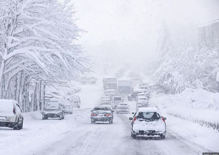
Freezing temperatures continued to blanket the Houston area Monday morning, with readings stuck in the 20s as an extreme cold warning remains in effect through midday Tuesday.
Forecasters say conditions may slightly improve later Monday, as temperatures are expected to climb into the upper 30s and low 40s during the afternoon. However, the relief will be short-lived. Another hard freeze is forecast for Monday night, with temperatures expected to drop to around 26 degrees by early Tuesday morning.
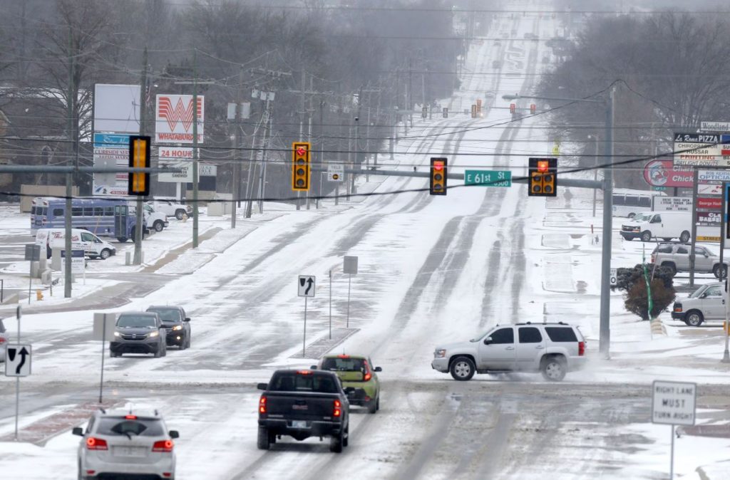
According to the National Weather Service, ice that formed early Sunday may have partially cleared as conditions evolved, but hazards remain. Speaking on Houston Matters, meteorologist Matt Moreland said Sunday was among the coldest days Houston has experienced, with temperatures staying in the mid-20s even during the afternoon hours.
Moreland explained that while ice can slowly evaporate, it tends to persist longer on bridges and overpasses, increasing the risk for drivers. He cautioned that even now, isolated patches of ice could still be present in certain areas across the city.
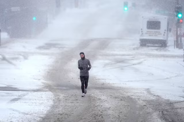
Meanwhile, power disruptions continue to affect the region. CenterPoint Energy reported that approximately 1,400 homes and businesses were without electricity as of Monday morning.
The weather service also warned that lighter freezes are expected to continue throughout the week, particularly in areas outside the urban core, urging residents to remain cautious as cold conditions persist.


