


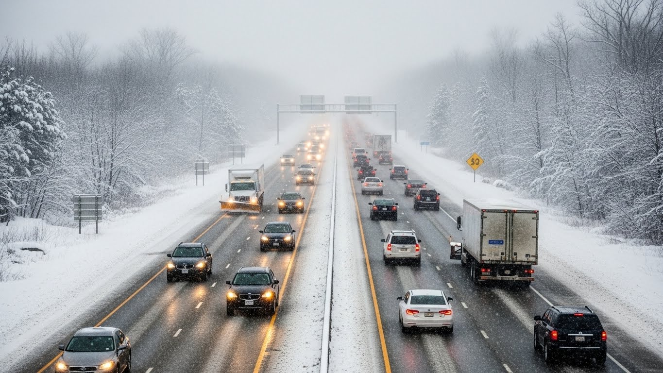
Christmas holiday travel is now officially underway, but changing weather patterns may complicate journeys for millions of travelers. According to a new report from The Weather Channel, while some days will offer relatively cooperative conditions, multiple rounds of rain, snow and strong winds are expected to disrupt travel across several regions of the United States, particularly in the East and West.
From flight delays at major airport hubs to slick and hazardous road conditions in wintry areas, travelers are being urged to stay alert and plan ahead before heading out.
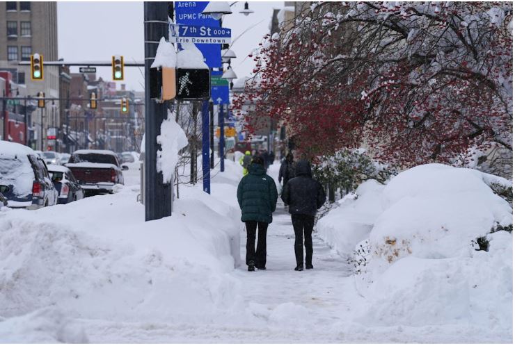
Monday Brings Mostly Favorable Conditions With Localized Issues
Overall, Monday is expected to be one of the more manageable travel days nationwide, though certain areas could still face challenges.
In the East, heavy travel volumes are anticipated along the East Coast, especially around New York and Boston. A weather system bringing rain and snow is forecast to arrive late Monday night and continue into Tuesday.
In the West, pockets of heavy rain may persist across Northern California, including the Bay Area, raising concerns about flash flooding and landslides. Snow will continue in the Cascades, while rain impacts western Washington and Oregon. Valley rain and mountain snow are also expected in the northern Rockies.

Across the South, light rain showers may develop along coastal Texas, Louisiana and parts of the lower Mississippi Valley. While impacts should be minimal, low cloud cover could disrupt some airport operations. Atlanta is expected to see a significant surge in holiday traffic.
In the Midwest, light snow mixed with sleet or freezing rain could develop near the Great Lakes by evening, creating slick driving conditions in some locations.
Airports most at risk for delays on Monday include San Francisco, Seattle and Houston. Tuesday Sees Growing Weather Disruptions Ahead of Christmas Eve. Tuesday is shaping up to be one of the most challenging travel days, with more widespread weather concerns.
In the East, light snow, sleet or freezing rain may affect parts of the Northeast, particularly New England and interior regions from northern Pennsylvania to upstate New York. Some wintry precipitation could even reach the New York City area early in the day. Elsewhere, rain showers and gusty winds may impact the mid-Atlantic, Ohio Valley and Tennessee Valley.
Out West, a stronger storm system is expected to move into California. Northern California will see heavy rain and strong winds first, with impacts spreading south by Tuesday night. Rain and mountain snow are also likely across parts of Washington, Oregon, northern Idaho and northwest Montana.
Major airports facing potential delays on Tuesday include Boston, New York, San Francisco, Los Angeles later in the day, and Nashville.
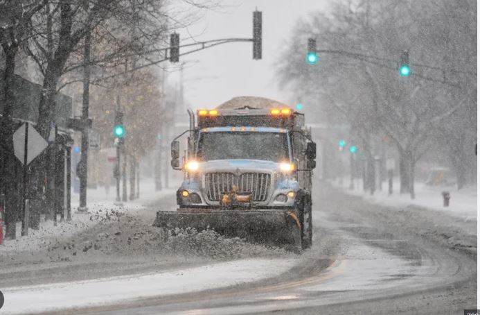
Christmas Eve Puts the West Coast in the Crosshairs
By Christmas Eve, the most significant travel disruptions are expected across the western United States.Heavy rain is forecast to continue across California, including the Los Angeles Basin, San Diego and the Bay Area. Rain may also spread into the Desert Southwest, affecting cities such as Las Vegas and possibly Phoenix. Flash flooding remains a serious concern, especially near areas recently impacted by wildfires. Travel along Interstate 80 through the Sierra Nevada mountains could become dangerous due to snow and poor visibility.
Elsewhere, parts of the Midwest may experience low clouds, fog and light rain as warmer and more humid air moves north. These conditions could cause morning flight delays at several major hubs.
Airports most likely to see delays on Christmas Eve include Los Angeles, San Francisco, San Diego, Las Vegas, Phoenix, Seattle, Chicago, Kansas City and Cincinnati.
Christmas Day Brings Continued Unsettled Conditions
Weather conditions are not expected to improve significantly on Christmas Day, particularly in the western states.
Another strong Pacific storm could bring additional rounds of heavy rain, gusty winds and significant mountain snow across the West, extending impacts into the Northwest, Great Basin, Desert Southwest and the Rockies.
In the Midwest and Northeast, forecast confidence remains lower, but light rain is possible across parts of the Great Lakes and Ohio Valley during the day. As temperatures drop in the evening, freezing rain, sleet or snow could develop in upstate New York and northern New England. Windy conditions may also affect the Plains, Great Lakes, Ohio Valley and mid-Atlantic.
Airports that could experience delays include Los Angeles, San Francisco, San Diego, Las Vegas, Chicago due to wind, as well as New York and Philadelphia.
Day After Christmas Keeps Travel Challenges in Place
Travel disruptions may persist into Friday as storm systems continue moving eastward.
In the West, the Christmas Day storm is expected to track across the Intermountain West, bringing continued rain, wind and mountain snow to areas including the Sierra Nevadas, Cascades and Rockies.
In the Northeast, rain showers may linger across the Ohio Valley and southern parts of the region, with a possible changeover to snow in New England.
The northern Midwest and Great Lakes could also see snow from a fast-moving system impacting states such as Minnesota.
Airports at risk for delays on Friday include Los Angeles, San Francisco, San Diego, Las Vegas, New York, Philadelphia and Boston.
Saturday Offers Gradual Improvement With Lingering Effects
By Saturday, weather conditions should begin to improve, especially in the West, though some lingering impacts may remain.Rain and snow are expected to taper off across much of California and the Pacific Northwest, though localized disruptions may continue near Seattle and in parts of California.In central and eastern regions, winter weather could clip the northern tier, including the Great Lakes and New England, while rain extends farther south into the Ohio Valley and parts of the South.Possible flight delays on Saturday may affect Los Angeles, Seattle, New York, Philadelphia and Boston.Travelers are advised to closely monitor weather forecasts, allow extra travel time, and remain flexible with plans, as rapidly changing conditions could impact travel throughout the Christmas holiday period.

