


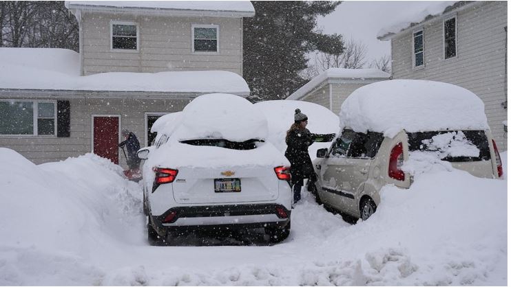
Chicago is preparing for a dangerous lake-effect snow event expected to begin late Sunday and continue into Monday morning. A narrow but extremely powerful snow band could dump over 3 inches of snow per hour, overwhelming snow removal efforts and creating hazardous conditions on the roads. If the snow band slows or stalls, the city could see double-digit accumulation by midday Monday.
Travel Disruptions Expected as Temperatures Plummet
As temperatures drop into the mid-20s overnight, the National Weather Service warns that heavy snowfall and gusty winds may lead to “dangerous to nearly impossible travel conditions.” The snow band, expected to stretch only about 10 miles wide, may produce thunder, winds up to 35 mph, and near-zero visibility. Snow totals could vary dramatically even within short distances — some neighborhoods may get just a few inches, while others could see more than a foot.
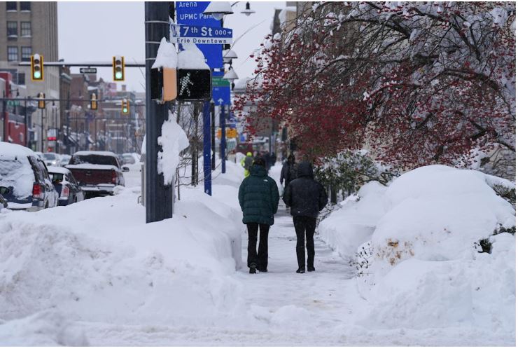
Historic Snowfall Possible
Chicago has not recorded a 10-inch snowfall since January 2021, and the last time the city saw a 10-inch November snow was in 2015. The record for the biggest November snowfall stands at 12 inches, set in 1895.
Arctic Blast Sweeps Across the Country

The storm in Chicago is part of a massive Arctic air mass spreading across the eastern two-thirds of the United States. This is not a simple cold front but a full-scale polar plunge. By Monday morning, millions across the Midwest and East will experience their coldest temperatures since spring, with the chill deepening further by Tuesday. Freezing temperatures could reach as far south as Texas, Florida, and the Appalachian region.
Sharp Temperature Drop in the South
Atlanta will see one of the sharpest changes, falling from near 70 degrees on Sunday to highs in the upper 30s Monday. By Tuesday morning, temperatures may dip into the upper 20s — the city’s coldest since February. Such conditions are typical of mid-January, not early November.
Record Cold Threat in the Southeast
Daily record lows could be challenged Tuesday morning in several southern states, including Alabama, Mississippi, Georgia, southeast Louisiana, and Florida. Cities like Birmingham, Huntsville, Baton Rouge, Savannah, Tampa, and Fort Myers may all experience unusually cold mornings.
Cold Extends to the East Coast
Washington, DC, and New York City are also expected to see their coldest mornings of the season on Tuesday. DC could start the day near 30 degrees, while New York’s highs may only reach the mid-40s. Wind chills in both cities are forecast to sit in the lower to mid-20s.
Snow Extends Beyond Chicago
Other regions will see snowfall too, though none as intense as Chicago’s. Lake-effect snow will continue downwind of the Great Lakes, and the higher elevations from West Virginia through North Carolina and Tennessee may receive several inches of accumulation.
Brief Cold Spell Before a Quick Warm-Up
Fortunately, the cold blast will not last long. Temperatures across the central United States are expected to rebound quickly by Tuesday, with much of the East warming up again by Wednesday.

