


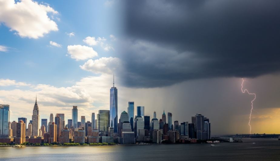
Weather conditions across New York City and surrounding areas are expected to shift again as the region heads into the weekend. After a bright start on Friday morning, clouds are forecast to increase later in the day, accompanied by strong winds and a noticeable drop in temperature.
Meteorologists say a new storm system is expected to move into the area Friday night, bringing wintry conditions to some parts of the region.
A Winter Weather Advisory has been issued for Ulster County and will remain in effect until 8 a.m. Saturday. Forecasters say the county could receive between three and six inches of snowfall.
In Sullivan County, snowfall totals are expected to be lighter, ranging from one to two inches. Meanwhile, areas including Westchester County, parts of Connecticut, and portions of New Jersey may only experience light snow or a thin dusting.
New York City itself is not expected to see significant snowfall. Instead, residents may experience light drizzle or scattered showers, with temperatures hovering around 40 degrees Fahrenheit.
Weekend Weather Outlook

Conditions are expected to improve on Saturday as sunshine returns and temperatures become slightly milder. However, strong winds will continue to sweep through the region, with gusts potentially exceeding 30 miles per hour, keeping the air feeling cooler than the actual temperature. Highs are forecast to reach between 50 and 55 degrees.
Cloud cover is likely to increase again on Sunday as another low-pressure system approaches the region. Most of the day is expected to remain dry, but rain chances could develop later in the evening.
Forecasters also predict a wetter start to the new week, with periods of rain expected on Monday. Residents are advised to stay updated on weather conditions and take necessary precautions when traveling or spending time outdoors.

