


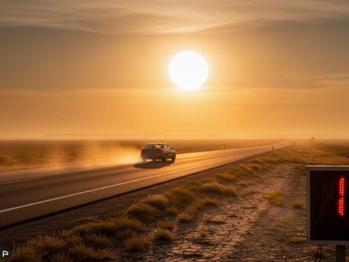
After a notably wet start to March, Southeast Texas — especially Houston — has shifted into a much drier pattern. Between March 7 and 11, the city recorded 3.45 inches of rainfall, but since then, conditions have remained dry with no measurable rain for more than two weeks.
Despite the earlier rainfall, Houston is currently running about 1.89 inches below its normal precipitation for the year. The deficit becomes more concerning when looking at the longer-term trend. Since August 1 of last year, the area has received just 19.85 inches of rain, which is more than a foot below average — highlighting a prolonged period of below-normal rainfall.
Gradual Warm-Up and Increasing Humidity This Week
The warming trend is expected to continue into the new week. Monday will see highs around 84 degrees, with temperatures inching slightly higher through Tuesday and Wednesday. Alongside the rising temperatures, humidity will also increase, bringing warmer nights with lows in the upper 60s to low 70s — significantly above the seasonal average.
Rain Chances Return by Midweek
Relief from the dry conditions may arrive by midweek. Isolated showers and thunderstorms are expected to develop by Wednesday, although chances will remain relatively low at around 20 percent. By Thursday, the likelihood of rain increases to about 40 percent as a weak low-pressure system moves across Texas.

Forecast models currently suggest that most areas in the Houston metro region will receive less than half an inch of rainfall. However, small changes in the system’s path could lead to more widespread precipitation.
In contrast, parts of Northeast Texas are expected to see heavier rainfall, with some locations potentially receiving one to two inches over the course of the week. There is also a possibility that a few storms could intensify, bringing risks of hail and strong winds.
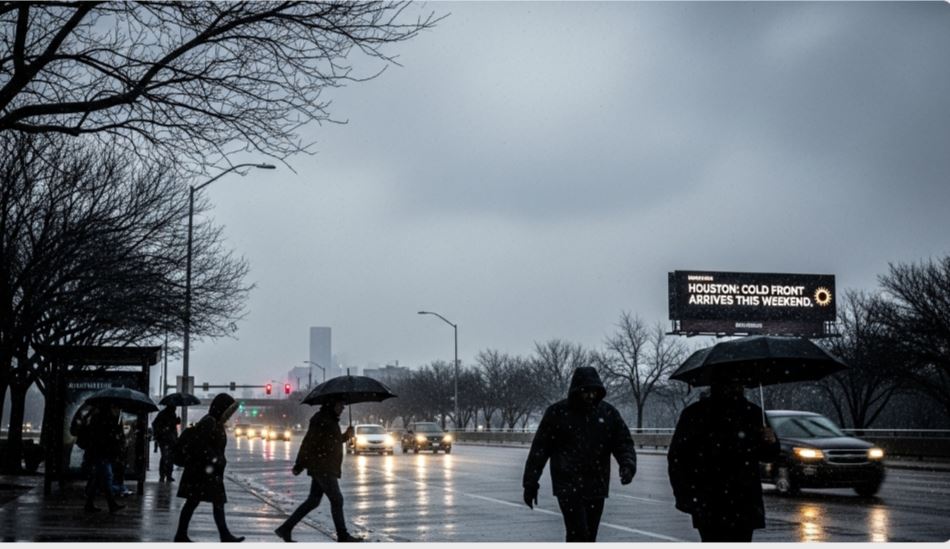
Looking Ahead to Next Weekend
Weather patterns indicate that another cold front could move through the region by next weekend, around April 4 and 5. This system may bring a noticeable drop in temperatures along with additional opportunities for rainfall, potentially extending the shift away from the ongoing dry spell.

