


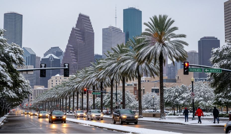
A powerful arctic cold front is set to plunge Houston into an extended period of freezing temperatures, with forecasters warning that the city could remain below the freezing mark for more than 30 straight hours. Current projections show the intense blast of cold air arriving late Friday night and carrying into early Saturday.
Along with the sharp temperature drop, winter precipitation is also possible on Saturday after the front passes. This raises concerns about icy roads, bridges and sidewalks across the region. With relatively warmer conditions expected through Thursday and early Friday, residents are being urged to use this time to protect water pipes, plants, pets and vulnerable individuals before the bitter cold sets in.
According to the National Weather Service, Thursday will begin with widespread dense fog across Houston before 8 a.m. Conditions will gradually improve, with skies turning mostly sunny and temperatures climbing to around 74 degrees, nearly 10 degrees warmer than the seasonal average. Late Thursday night, patchy fog is expected to return after 2 a.m., while mild southeast winds from the Gulf Coast should keep overnight temperatures above 61 degrees.
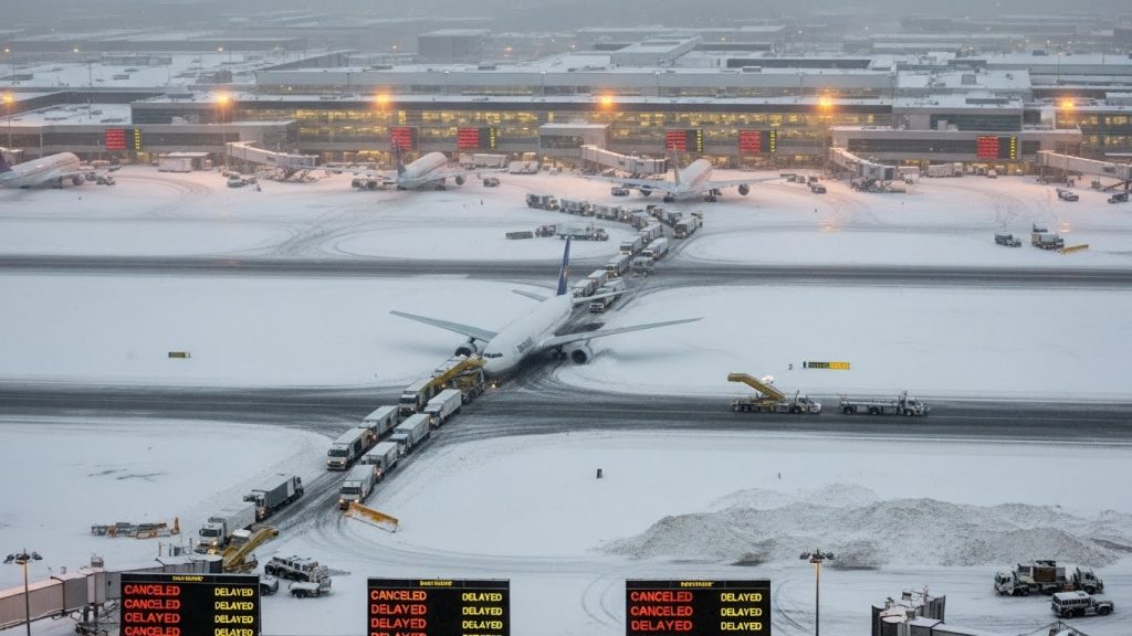
On Friday, rain chances will increase to about 40 percent ahead of the approaching cold front. Despite the unsettled weather, temperatures are still expected to reach the low 70s, supported by southeast winds of 5 to 10 miles per hour. After midnight Friday night, rain chances will rise sharply to around 70 percent as the cold front moves through. While areas such as the Brazos Valley and the Piney Woods may dip below freezing Friday night, forecasters say Houston’s temperatures should fall only into the upper 40s overnight.
Freeze Timeline: What to Expect
Saturday: Temperatures early Saturday will be in the 50s, which is expected to be the warmest part of the day. Even after sunrise, readings will steadily drop toward the freezing point of 32 degrees over the next 24 hours. Rain chances will be near 90 percent, making for a cold, wet and unpleasant day. Rain is likely to continue into the evening before transitioning into freezing rain after midnight. By early Sunday morning, temperatures in Houston are forecast to fall into the upper 20s.

Weather service meteorologist Cameron Batiste noted that subfreezing temperatures are expected across the entire area Saturday night, Sunday night and Monday night, with the cold potentially lingering into the middle of next week. He added that forecasters are anticipating a widespread hard freeze, with temperatures dropping below 24 degrees Saturday and Sunday nights. Northern areas could see readings fall into the low to mid-teens, while strong northerly winds will make conditions feel even colder.
Batiste explained that wind chill values Saturday and Sunday nights could range from near zero in the Brazos Valley to the low and mid-teens across the Houston metro area. Such conditions may trigger an extreme cold warning, and residents are advised to have plans in place to stay warm, especially in the event of power outages.
Sunday: Houston is unlikely to rise above freezing at any point during the day. Forecast models show temperatures reaching 32 degrees as early as 6 a.m. Sunday and remaining at or below that level throughout the day. Before noon, there is about a 30 percent chance of freezing precipitation. Sunday night, under partly cloudy skies, temperatures are expected to plunge further, approaching 20 degrees by early Monday morning.
Batiste said whether daytime temperatures climb above freezing over the weekend will depend on location. Parts of the Brazos Valley and the Piney Woods could experience continuous subfreezing temperatures from Saturday morning through Tuesday. In some outer suburban areas, that could mean more than 72 consecutive hours below freezing. Across the Houston metro area, current forecasts suggest around 40 straight hours below 32 degrees, largely due to ice accumulation and persistent northerly winds pushing colder air southward.
Monday: Some warming may occur during the day, but it will be limited. Houston is expected to see sunshine, with temperatures struggling to rise out of the 30s and possibly peaking near 40 degrees. Monday night, clear skies and dry air behind the cold front will allow rapid heat loss, sending overnight temperatures back down into the lower 20s by early Tuesday.
Batiste also warned that travel conditions will likely be hazardous from Saturday through Tuesday, particularly across the Brazos Valley and the Piney Woods. He noted that dangerous conditions could extend southward into the Houston area, especially on elevated roadways from Saturday night through Monday morning. There is also a heightened risk of frozen and burst pipes if they are not properly insulated.
Even if some parts of Southeast Texas briefly climb above freezing, any remaining moisture is expected to refreeze Monday night into Tuesday morning, prolonging hazardous conditions.

