



Houston’s weather is once again expected to keep residents alert and prepared. While no forecast can predict the exact mix of heat waves, flooding rains, or hurricane threats the year may bring, long-term climate trends provide a reliable picture of when extreme conditions are most likely to occur.
When Houston Usually Sees Its First 90-Degree Day
Based on the city’s 30-year climate averages, Houston typically reaches its first 90-degree high around Memorial Day. However, recent years show wide variation. Over the past decade, the first 90-degree day has arrived as early as mid-March and as late as early June. In that same period, April and May have frequently seen Houston cross the 90-degree mark well ahead of schedule.
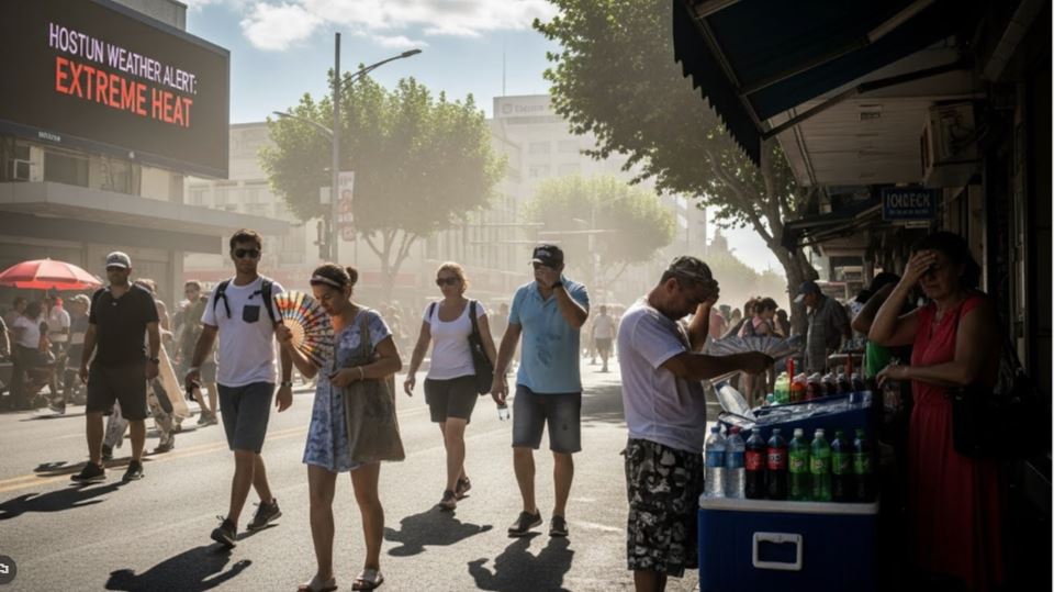
Timing of Houston’s First 100-Degree Temperature
Historically, Houston records its first 100-degree day around July 19. The earliest occurrence on record came on June 2, 2011, a year that went on to log 46 days of triple-digit heat. July and August remain the city’s hottest months on average, though extreme heat has occasionally stretched into late September, underscoring how prolonged summer conditions can become.
Houston’s Wettest Time of the Year

Houston averages roughly 50 inches of rain annually, with nearly every month seeing more than three inches on average. February is typically the driest month, falling just below that threshold. The heaviest rainfall generally occurs from May through October, driven by thunderstorms and tropical systems. Still, recent years have shown that rainfall patterns can shift quickly, with unusually wet or dry periods appearing outside typical seasonal norms.

Peak Hurricane Risk Along the Upper Texas Coast
The Atlantic hurricane season officially begins June 1, with August and September posing the greatest risk for Houston and the upper Texas Gulf Coast. Historically, the majority of hurricanes impacting the region have made landfall during these two months. That said, notable storms have struck outside this peak window, including midsummer and early fall hurricanes, proving that vigilance is necessary throughout the season.
Severe Weather Seasons in Houston
While severe weather can occur at any time of year, Southeast Texas experiences two primary peaks. Spring is the most active period for damaging winds and large hail, highlighted by events such as the powerful derecho that moved through Houston in May 2024. A second spike arrives in the fall, when tornado risk increases. November has historically recorded the highest average number of tornadoes in the region, making late autumn another critical time for weather awareness.
Taken together, these long-term patterns show that 2026 is likely to bring familiar challenges, with heat, heavy rain, severe storms, and hurricane threats following well-established seasonal rhythms — even as climate variability continues to test expectations.

