


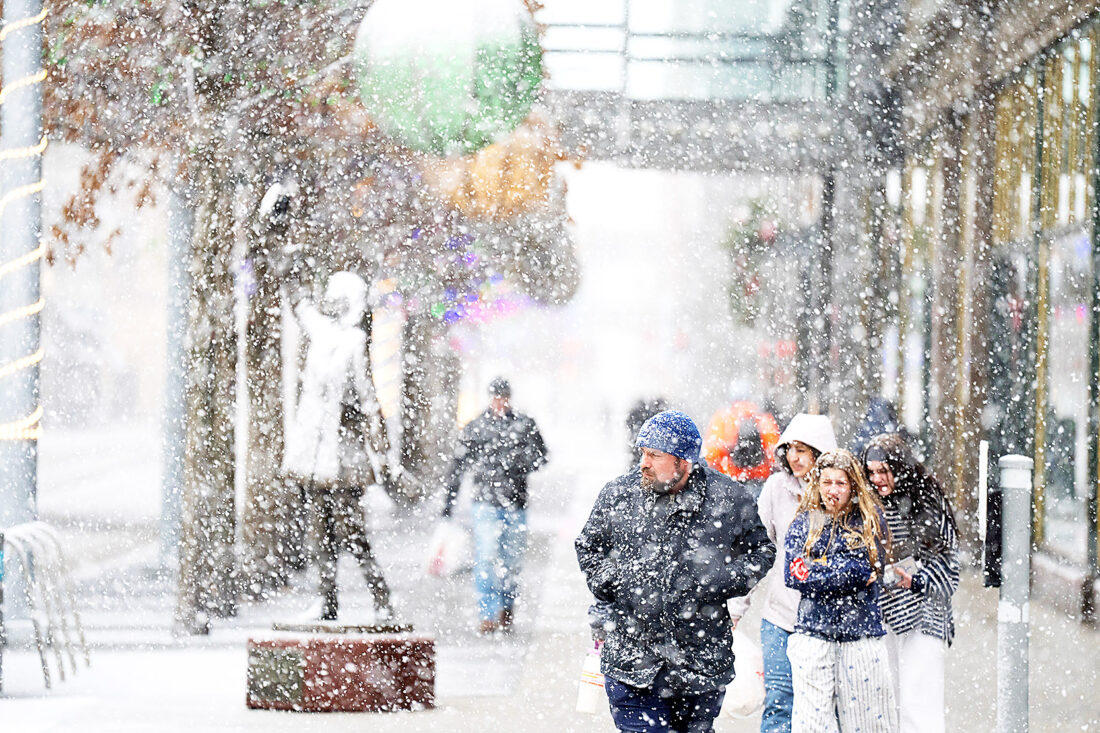
A powerful winter storm moved eastward from the Plains on Sunday, fueled by what meteorologists are calling a strong and intense cyclone. The system is impacting large parts of the United States with a wide range of hazardous weather, including heavy snowfall, freezing rain, rainfall, and powerful winds.
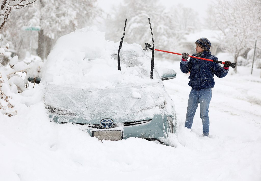
According to the National Weather Service, the storm is affecting regions differently as it advances. Bob Oravec, a lead forecaster at the National Weather Service office in College Park, Maryland, explained that while some areas are experiencing heavy snow, others along the advancing cold front are facing strong winds and a sharp drop in temperatures.
Oravec noted that all these conditions are interconnected within the same storm system. He emphasized that as the system moves across the country, various regions will feel different impacts depending on their location relative to the storm’s core and cold front.
By Sunday, snow and increasing winds had spread across the Upper Midwest. The National Weather Service warned that visibility could drop dramatically, creating whiteout conditions. In some areas, near-blizzard or blizzard-like conditions were possible, making travel extremely dangerous or even impossible.
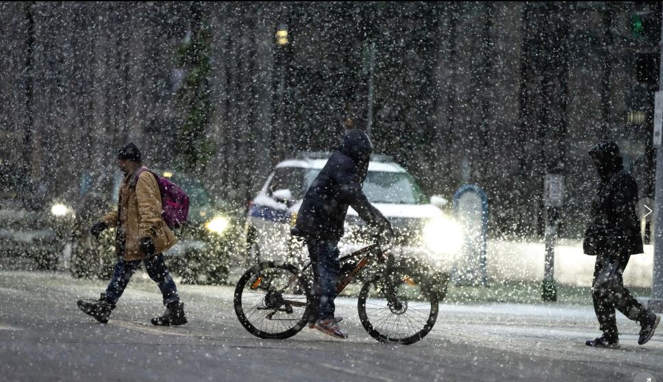
Forecasters predicted significant snowfall totals across the upper Great Lakes region. In several areas, snow accumulation was expected to surpass one foot, while locations along the southern shore of Lake Superior could see as much as two feet of snow, further worsening travel and safety conditions.


