


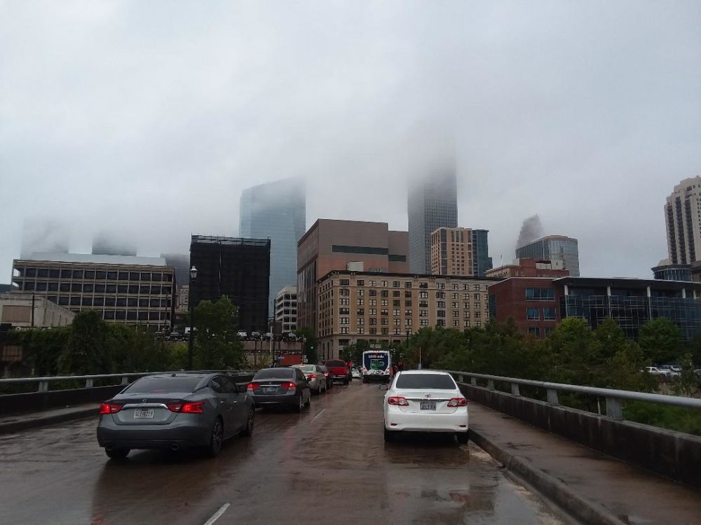
HOUSTON, Texas — Houston residents should keep their umbrellas nearby as tropical moisture moving into Southeast Texas is expected to bring increased chances of showers and thunderstorms through the middle of the week.
Forecasters are watching a surge of moisture from the Gulf and the eastern tropics that could fuel scattered downpours across the Houston area, particularly during the afternoon hours.
More rain expected Wednesday and Thursday
Rain chances are expected to reach around 40% on Wednesday and Thursday, with showers and thunderstorms most likely developing between noon and 3 p.m.
Areas south of Interstate 10, including communities closer to the coast, could see more frequent showers. While many storms will be brief, some stronger downpours could produce one to two inches of rain in a short period, potentially causing localized street flooding.
The wet weather is expected to gradually fade during the evening, with most showers and storms ending between 7 and 8 p.m.
Outdoor plans could also be affected on both Wednesday and Thursday afternoons, so residents are being advised to keep an eye on changing weather conditions.

Rain chances continue into the weekend
The unsettled pattern is not expected to disappear after Thursday.
Rain chances are forecast at around 30% on Friday and through the weekend, with the possibility of scattered sea-breeze thunderstorms continuing across parts of Southeast Texas.
Despite the rain, temperatures will remain hot. Afternoon highs are expected to stay in the low to mid-90s, close to or slightly above seasonal averages.
Humidity will make conditions feel considerably hotter, with heat index values potentially climbing above 100 degrees.
The good news for residents hoping for relief from extreme heat: no triple-digit air temperatures are currently expected.
No fall front in sight yet
Those hoping for an early taste of fall may have to wait a little longer.
Forecasters say there are no clear signs of a significant fall front reaching Houston during the next 10 days. However, a more autumn-like front could potentially arrive during the final 10 days of September.
Until then, Houston is likely to remain warm and humid, with periodic afternoon thunderstorms providing temporary relief from the heat.
Tropics remain unusually quiet
Despite being near the peak of the Atlantic hurricane season, tropical activity remains relatively quiet.
Forecasters are not currently expecting tropical development in the Atlantic over the next seven days. The peak of the Atlantic hurricane season typically occurs around September 10–11, meaning attention will remain focused on the tropics in the days ahead.
So far, no hurricane has formed in the Atlantic basin this season. Forecasters will continue monitoring conditions for any changes.
Meanwhile, Tropical Storm Lowell is moving away from Hawaii and remains separate from the weather pattern affecting Houston.
What Houston residents should know
For now, the main weather concern across the Houston area is rain rather than extreme heat or tropical development.
Residents should be prepared for:
- 40% rain chances Wednesday and Thursday
- 30% rain chances Friday through the weekend
- Afternoon temperatures in the low to mid-90s
- Heat index values above 100°F
- Brief periods of heavy rain, especially south of I-10
- Potential for localized street flooding in areas receiving the heaviest downpours
- No significant fall front expected during the next 10 days
For Houston residents, particularly those commuting or planning outdoor activities, the afternoon hours will be the key period to watch as tropical moisture increases the potential for sudden thunderstorms.
Stay with Pulse News for the latest Houston weather updates, tropical developments and alerts.

