


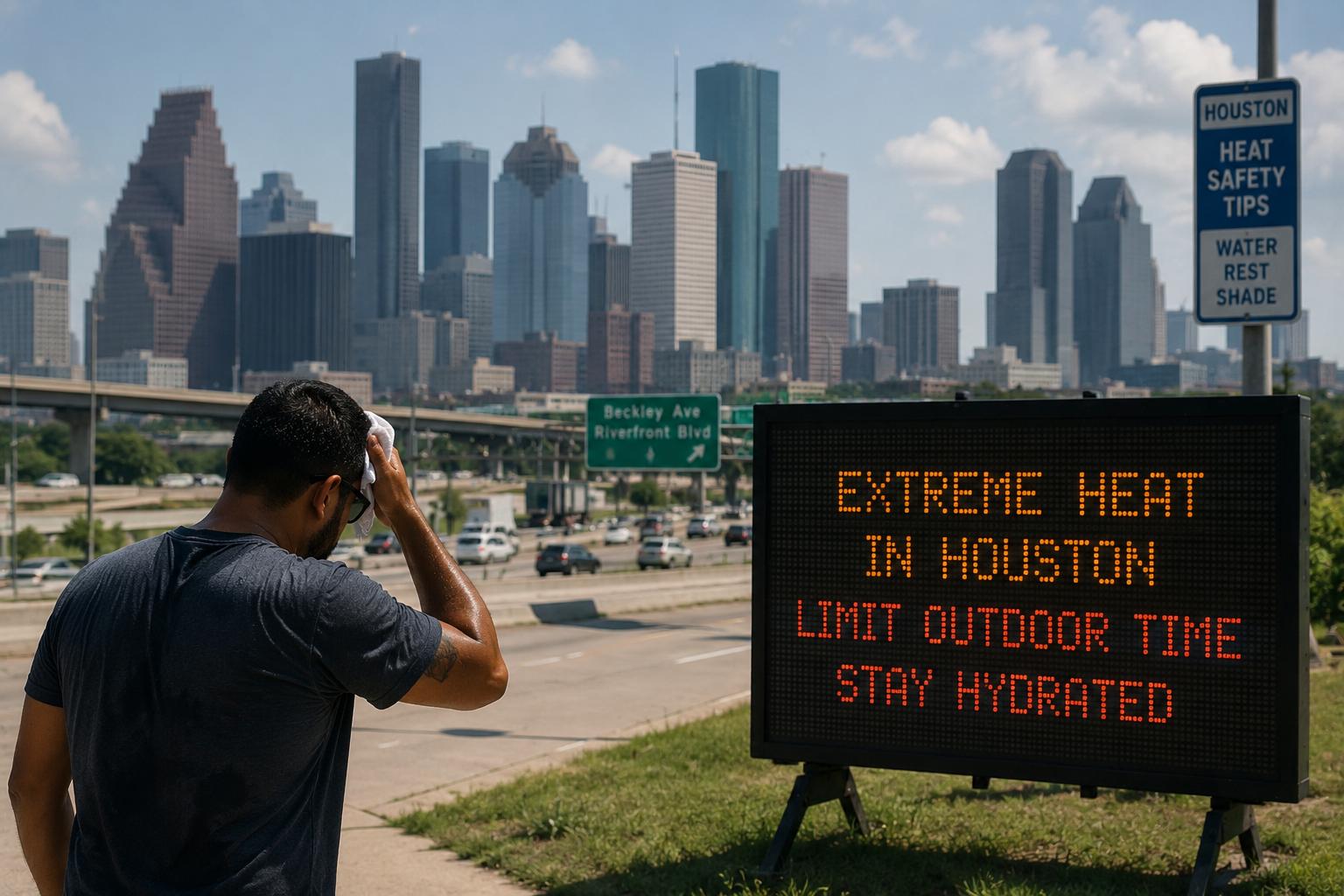
HOUSTON, Sept. 8, 2026 — Houston is facing another spell of intense heat on Tuesday, with temperatures expected to climb into the mid-90s and heat index values reaching around 103–105 degrees Fahrenheit, according to the National Weather Service Houston/Galveston office.
The latest forecast calls for a high of around 93–94 degrees in Houston on Tuesday, with a 30 percent chance of showers and thunderstorms, mainly during the afternoon. The combination of high temperatures and humidity is expected to make conditions feel considerably hotter.
The weather pattern is expected to become wetter from Wednesday. The National Weather Service is forecasting a 50 percent chance of showers and thunderstorms across Houston on Wednesday, with further rain chances continuing through the week.
Along the Gulf Coast, including Galveston, temperatures are expected to reach the lower 90s on Tuesday, while heat index values could climb as high as 105 degrees. Rain and thunderstorm chances are expected to increase to around 50 percent on Wednesday.
Flooding remains a concern

The renewed rainfall threat comes as Southeast Texas continues to deal with the effects of recent extreme weather. The region was hit by the remnants of Tropical Storm Edouard last week, producing significant rainfall and flooding in areas north and east of Houston.
Some communities northeast of Houston recorded exceptionally high rainfall totals, with Hardin County receiving close to two feet of rain during the event. Flooded roads, power outages and emergency rescues were reported across parts of Southeast Texas.
While Houston itself is not currently facing a comparable widespread flooding event, the combination of saturated areas, tropical moisture and thunderstorms remains an important disaster-management concern.
The National Weather Service says stronger storms can produce locally heavy rainfall, gusty winds and lightning. The Houston forecast also indicates that rainfall could become more frequent later in the week.
Houston’s climate challenge
The latest conditions highlight the increasingly complex weather challenges facing the Houston region, where extreme heat and intense rainfall can occur within the same period.
For residents and emergency-management agencies, the focus remains on monitoring rapidly changing conditions, particularly during thunderstorms that can produce sudden heavy downpours and localized flooding.
For now, Tuesday’s immediate threat is the heat. But forecasters are watching the developing rain pattern closely as the week progresses.
The National Weather Service’s latest Houston forecast shows additional chances of showers and thunderstorms continuing into Thursday and beyond, suggesting that unsettled weather could remain part of the region’s pattern for several days.

