



After days of gray skies, sunshine has finally returned to the Houston area, but residents are advised not to pack away their winter clothing just yet. Another cold front is forecast to move through the region this weekend, bringing a renewed drop in temperatures.
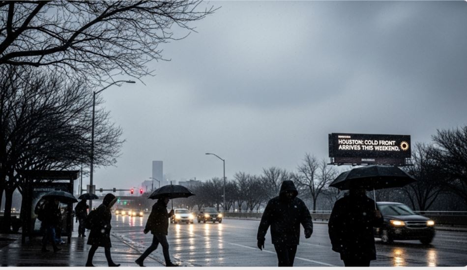
Following a winter storm that impacted the area early Sunday, temperatures climbed above freezing on Tuesday. According to Houston TranStar, most icy patches on roadways across greater Houston have now melted. However, the National Weather Service warns that a light freeze is still possible Tuesday night, with temperatures expected to rebound into the mid-50s by Wednesday.
Warmer conditions are expected to continue briefly, with highs reaching the lower 60s on Thursday. Meteorologists say relief will be short-lived, as another cold front is set to arrive soon after. Cameron Batiste, lead meteorologist at the National Weather Service Houston/Galveston office, said this system is not expected to bring winter precipitation, which is a positive sign for the region.

By Friday evening, temperatures in Houston are forecast to fall sharply, dropping from daytime highs in the low 50s to below freezing overnight. Even colder conditions are expected Saturday night, when temperatures could dip into the mid-20s.
Forecasters are urging residents not to remove insulation from exposed pipes yet, as a hard freeze remains possible across parts of the Houston metro area late Saturday night.
While Houston will see some brief warming, other parts of Texas continue to struggle with severe winter conditions. Central Texas, including Waco, remains under a cold weather advisory through Wednesday morning. In North Texas, snow and ice are still lingering, particularly in the Dallas-Fort Worth area.

Preliminary data from the National Weather Service shows that DFW Airport received nearly two and a half inches of snow over the weekend, while parts of East Texas experienced up to a quarter inch of ice, highlighting the widespread impact of the winter weather across the state.

