


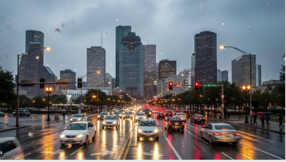
Houston residents should brace for a week of shifting temperatures as winter briefly loosens its grip midweek before another cold front sends readings downward again by the weekend. The week begins with seasonably cool conditions, followed by a short-lived warm spell on Wednesday. Another front late in the week will bring colder air back to Southeast Texas, keeping winter firmly in the picture.
Chilly Start to the Workweek
Afternoon highs will struggle to rise above the lower 60s, which is typical for mid-January but may feel cooler after recent stretches of warmer weather.
morning will be especially cold, with temperatures falling into the lower 40s across much of the Houston area. Suburban locations, particularly north of Interstate 10, could briefly dip into the upper 30s. Winds are expected to remain light, limiting wind chill concerns, but a heavier jacket will be necessary during the early morning hours.
Midweek Brings a Brief Temperature Boost
A Pacific cold front will move through the region by Wednesday. Unlike stronger Arctic systems, Pacific fronts usually bring drier air and only modest cooling.

As a result, Wednesday is expected to be the warmest day of the week. Afternoon temperatures should climb into the upper 60s and approach 70 degrees under mostly sunny skies. By Thursday, temperatures ease back toward seasonal norms, with highs returning to the lower 60s.
Another Cold Front Targets the Weekend
A second cold front is forecast to arrive by Friday, pushing temperatures below normal once again. Highs by the end of the week are expected to remain in the 50s, while overnight lows drop into the upper 30s and lower 40s.
Despite the fluctuations, forecasters do not expect any significant freezing temperatures for the remainder of January. Long-range models indicate a gradual warming trend toward late January, consistent with outlooks from the Climate Prediction Center through January 24.
Rain Chances Remain Minimal
Rain is not expected to be an issue for Houston this week. An upper-level weather system will pass across Texas early in the week, but it is forecast to remain well north and west of Southeast Texas.
Travelers heading west of Interstate 35 through Tuesday may encounter a few light showers, but the Houston area is expected to stay dry. While cloud cover may increase at times on Tuesday, meaningful rainfall is unlikely.
The continued dry pattern means no immediate relief for areas of moderate to severe drought across Southeast Texas, with dry weather expected to dominate the week ahead.

